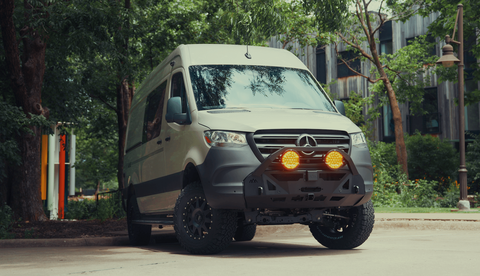
Recreational Vans

Height clearance maps catalog the posted heights of bridges, tunnels, overpasses, and low utilities that can strike a tall vehicle. The goal is simple. Match your route to your vehicle height before you commit to a turn. These maps often include truck restrictions, road classes, and weight limits, which help larger vehicles avoid tight streets and parkways with low stone arches. For tall vans and overland rigs, a single missed warning can mean roof damage, broken racks, or a torn AC shroud. Using height clearance maps makes safe travel predictable rather than lucky.
Most clearance points come from state and local transportation databases, field surveys, and user reports. Heights are typically recorded to the lowest posted value, which is the conservative number. That means seasonal repaving, snow pack, or heavy loads can reduce real clearance further. Treat the map as one layer of truth. Confirm with posted signs at the approach, check recent reports in your app of choice, and keep a personal buffer above your measured height.
Start by measuring your exact total height. Include suspension lift, tires, roof racks, solar panels, max fan, air conditioning unit, antennas, light bars, and anything you mount on top. Record that number on a label within view of the driver seat. Then plan the route with a platform that supports height based routing. General navigation apps often ignore clearances, so use a dedicated tool that lets you enter vehicle dimensions and avoids any geometry below your limit.
Specialized navigation options vary by region. Truck focused apps and devices often include height aware routing and low bridge layers. RV and van travel apps may bundle crowdsourced clearance points and warnings. Some offline map platforms allow custom POI layers where you can import low bridge databases or GPX files. Whatever you choose, test it locally before a long trip. Drive a known route with one or two low structures to confirm that the warnings appear in time and the audio prompts are clear.
Accurate measurement is the foundation. Use a tape measure from ground to the highest fixed point. If you run adjustable air suspension or heavy loads, measure at your typical travel weight on flat pavement. Add a safety buffer of at least four inches to account for road crown, dips, frost heaves, and repaving. Keep a small folding rule or a digital note with your height in both feet and inches and in meters for international travel.
The most common errors are guessing height, relying on generic car navigation, and ignoring a posted sign because the map looked clear. Detours can send you off the planned path, so watch for warning symbols during construction. City parkways and historic districts often have arched bridges where the lowest point is near the shoulder rather than at the centerline. If you are unsure, stop in a safe place and scout on foot or choose a different approach.
As you refine your routine, consider how your build supports safe routing. Clean wiring to navigation devices, tidy dash layouts, and well placed phone mounts reduce distraction and help you verify clearances quickly. Power management also matters when you rely on tablets or multiple devices for maps, weather, and satellite connectivity.
Strong planning keeps you out of trouble, but the right vehicle setup makes it easy to execute. If you want a travel rig designed with safe routing in mind, explore Recreational vans, a smart path to tailor features that support the way you travel. For a white glove approach from concept to keys, see our Custom build van process that aligns storage, roof gear, and electronics with your measured height. If you plan to finance a platform that fits clearance friendly travel, review our Mainstream vans options.
Use height clearance maps as your preflight checklist for every route. Measure once, build in a buffer, and choose tools that respect your limits. When you are ready for a rig that is organized for safe navigation, streamlined cable management, and the right roof profile, OZK Customs can help. Share your routes, gear list, and target height and we will map a build that makes every trip simpler.
Ready to set up a travel rig that respects real world height limits and keeps your trips smooth and safe? Tell us your goals and we will design the right build, power, storage, and navigation package to match. Start your plan today and let OZK Customs turn safe routing into second nature.
ADDRESS:
6159 E Huntsville Rd, Fayetteville, AR 72701
PHONE:
(479) 326-9200
EMAIL:
info@ozkvans.com